Construction Monitoring Services in Virginia Beach, VA

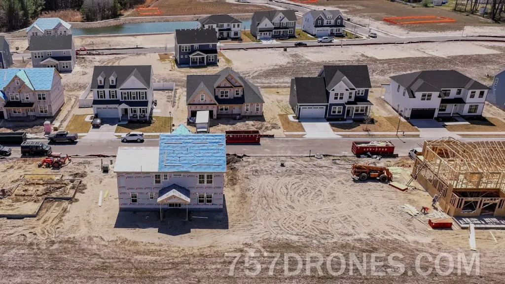
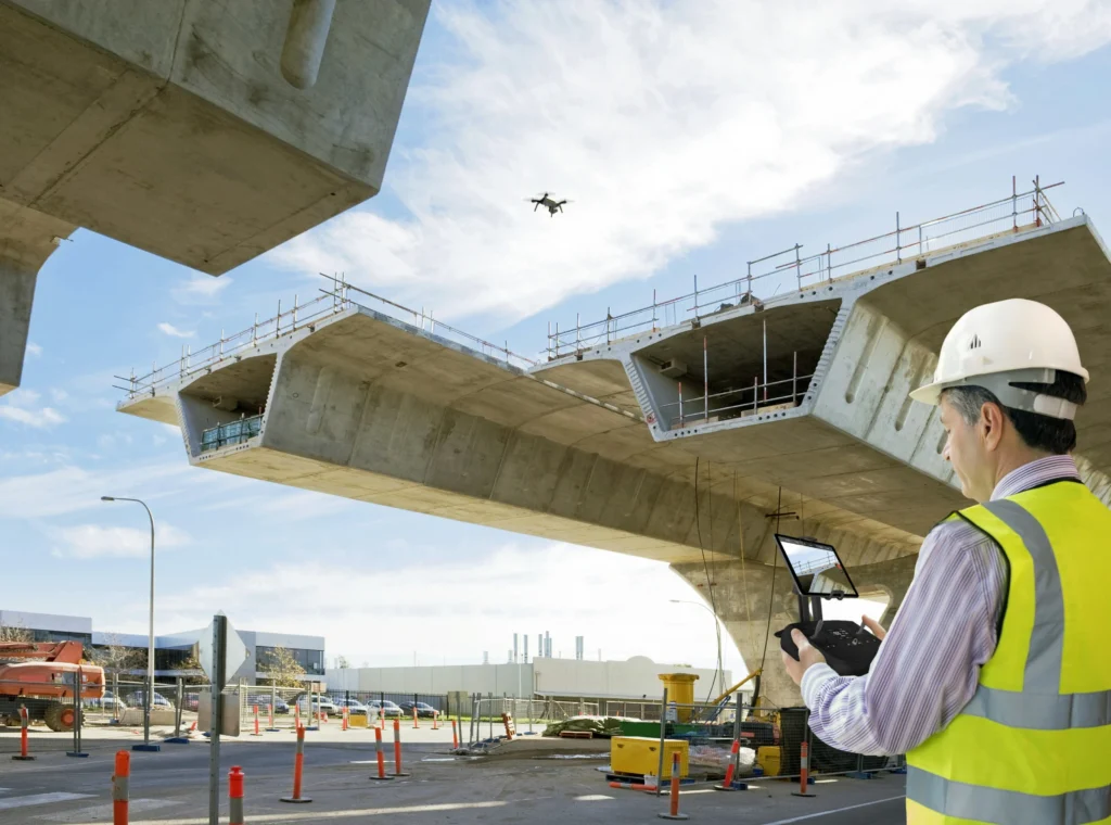
Ground-level inspections routinely overlook structural layout variances and grading errors across expansive development footprints. Virginia Drone Solutions provides project supervisors with comprehensive overhead visibility to eliminate costly remediation work before it impacts your bottom line. Investing in programmatic construction monitoring Services in Virginia Beach delivers an undisputed, chronological visual record to every stakeholder tied to the build. Our licensed aviators safely capture critical structural updates, maintaining complete transparency and keeping your subcontractors strictly aligned with performance timelines.

WHAT CAN WE DO FOR YOU?

Check Out Our Services in Virginia Beach, VA

Bypassing structural blind spots during key build phases frequently invites severe budgetary overruns and extended completion delays. Our experienced flight crews mitigate these operational risks by equipping your field management with high-definition, time-sensitive progress assessments. You can evaluate our complete suite of industrial mapping solutions on our Construction Monitoring Services in Virginia Beach page. Integrating routine aerial construction monitoring in Virginia Beach equips developers with immutable visual documentation of all active zone operations.

rsw 1279m

Drone Service

Securing high-profile municipal or corporate contracts demands verified, fully licensed proof of remote flight competency. We deploy sophisticated drone services equipped with encrypted, real-time video downlinks for instantaneous ground site management. This protective operational framework ensures your primary corporate interests remain thoroughly insulated from liability.

rsw 1279m 2

Aerial Photography

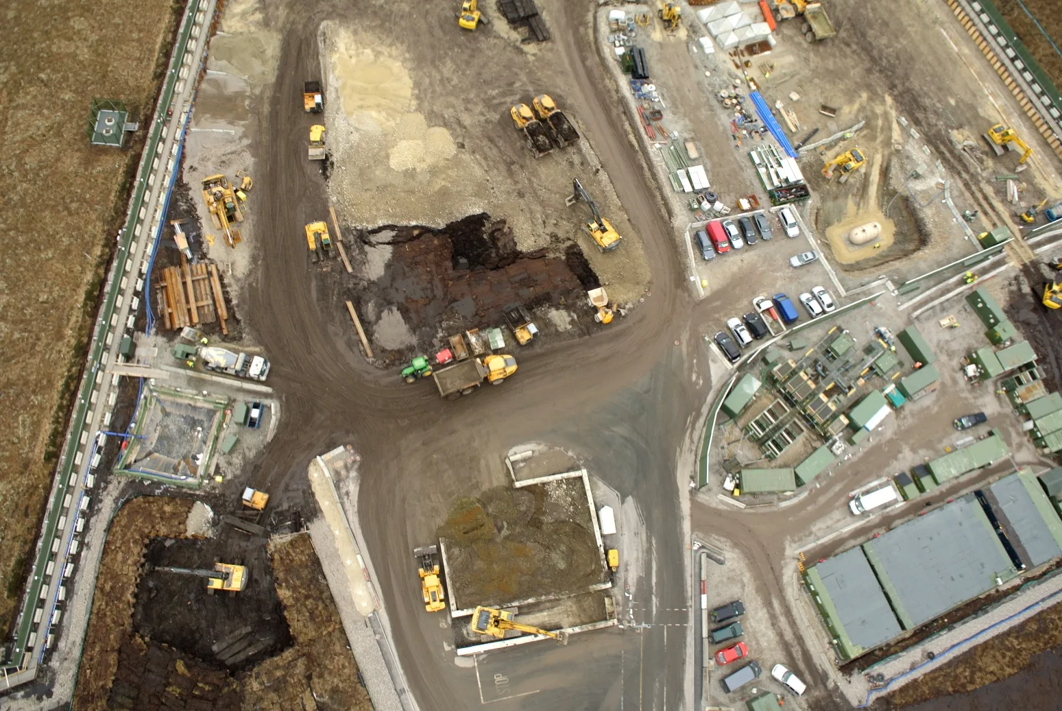
Low-resolution overhead imagery can easily mask grading anomalies or foundation discrepancies on a busy job site. We produce exceptionally sharp aerial photography from fixed coordinate points to establish verifiable baseline conditions across your entire acreage. You receive uncompressed, high-fidelity files that bring absolute clarity to technical engineering reviews.

Aerial Videography

Unstabilized, jittery raw footage is functionally useless for presenting progress updates to equity partners or analyzing complex structural framing. We record fluid aerial videography by utilizing heavy motorized stabilization rigs engineered to neutralize high-altitude wind resistance. Your internal media team receives impeccably stable tracking shots that require zero digital smoothing in post-production.

2026 03 01

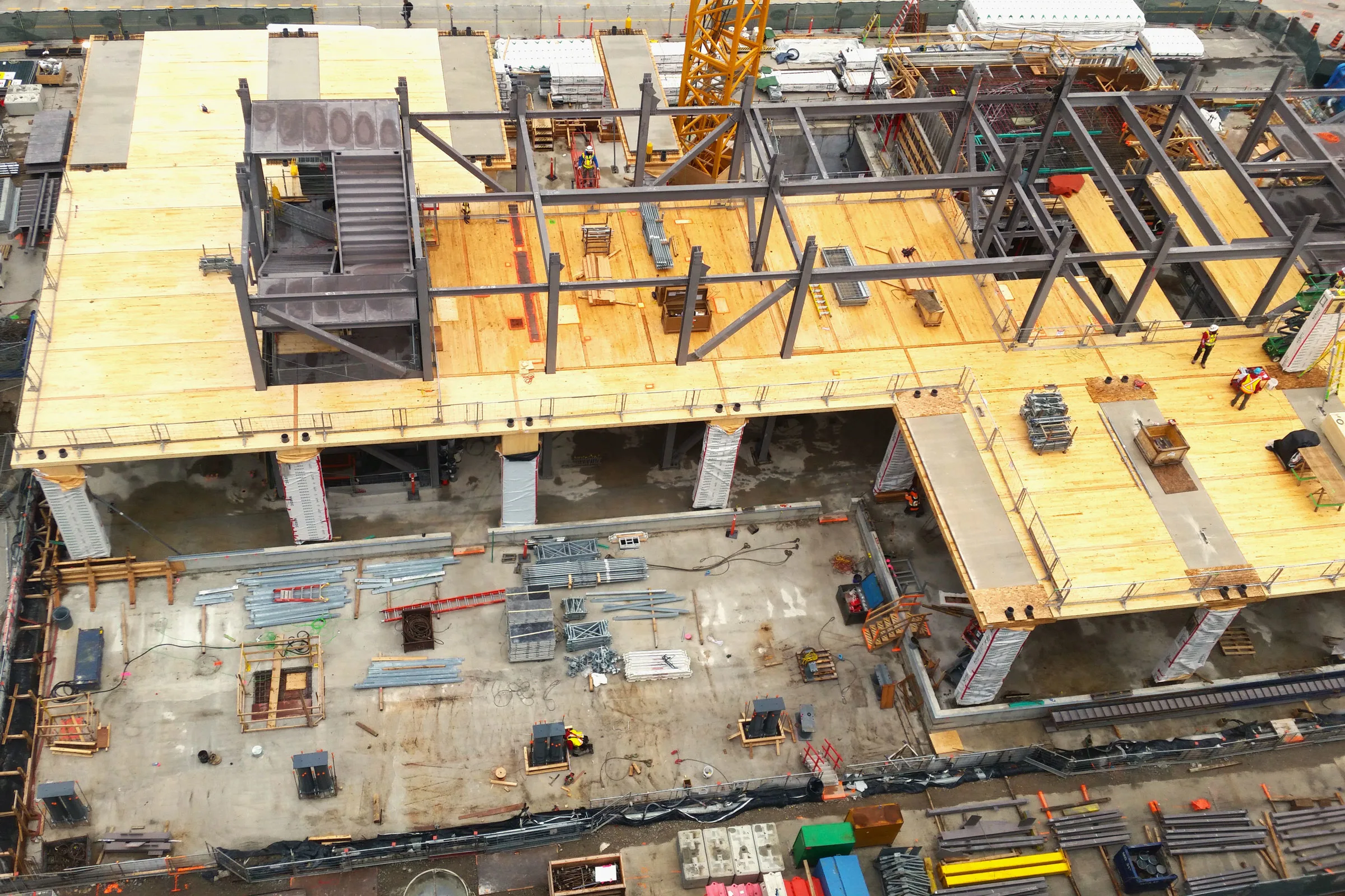
Construction Monitoring

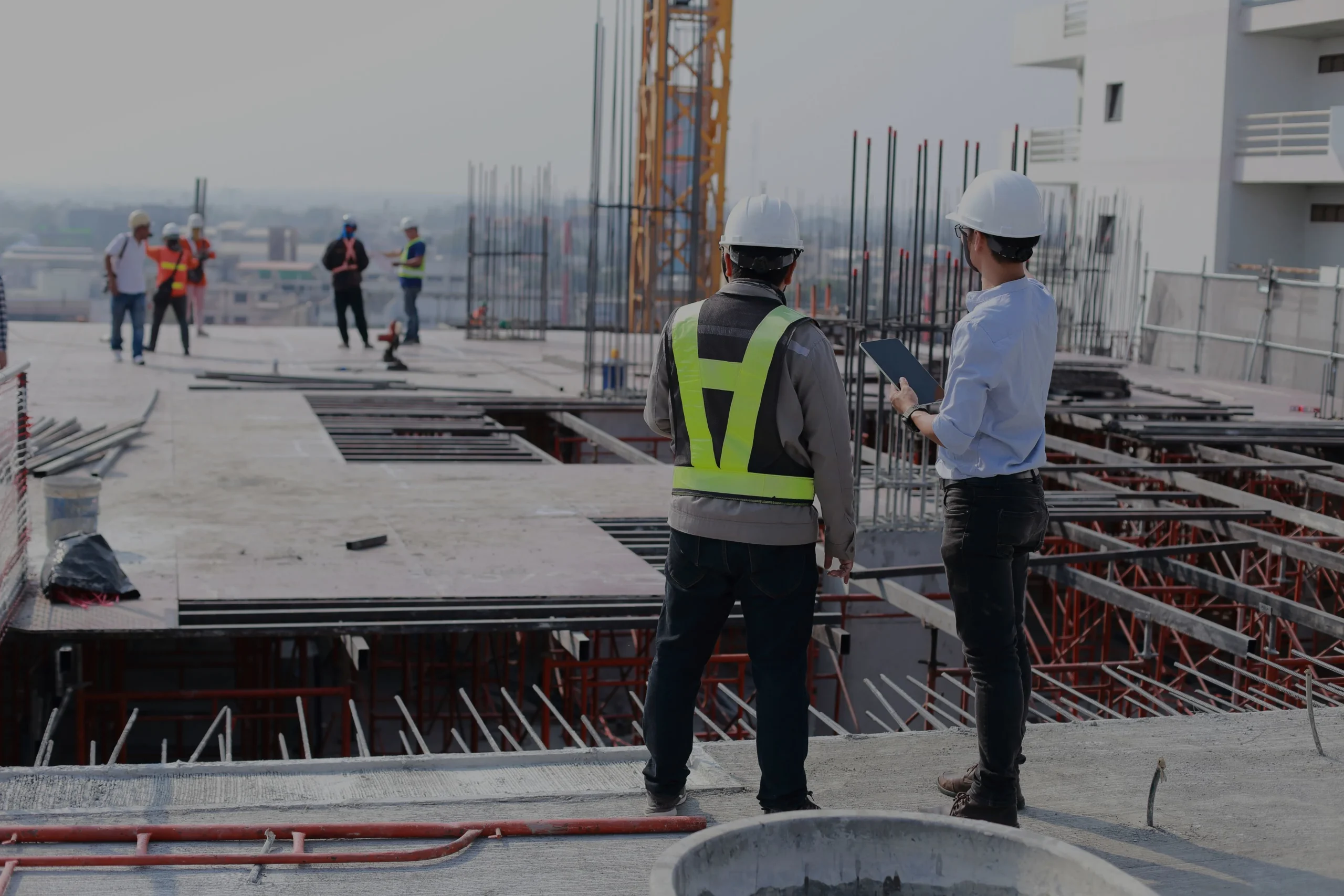
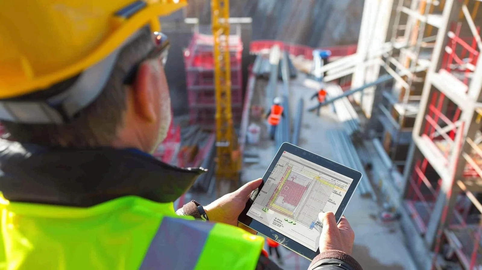
Tracking multifaceted trade schedules solely via manual site walks is inefficient and prone to human logging errors. We execute precise construction monitoring schedules that translate complex physical progress into structured daily or weekly data assets. You acquire an objective, top-down visual dataset to validate compliance at every sequential phase of execution.

682674618 17903866548420078 6620067774125022513 n

Event Capture

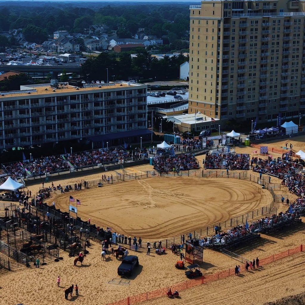
Documenting large-scale public gatherings or outdoor corporate milestones requires a rigorous focus on airspace risk management. We orchestrate secure event capture using pre-planned flight coordinates that stay entirely clear of active spectator areas. This methodical approach guarantees total peace of mind for both event organizers and risk management teams.

yybogkry2g5rndm70tix

LEARN MORE ABOUT US

Who are we?

Virginia Drone Solutions we are commercial Part 107 UAS operators providing high-resolution asset tracking with rapid digital delivery models. We specialize in industrial progress documentation, supporting major regional infrastructure expansions such as the commercial distribution hubs near the Patriot Parkway corridor. Commercial developers and project directors rely on our precision orthomosaic maps to verify material stockpiles and cross-reference foundation boundaries against design schematics with absolute accuracy. Rely on our regional airspace expertise and high-performance sensor packages to keep your major capital improvements fully documented, secure, and compliant.

Why Choose Virginia Drone Solutions

Reasons to Trust

Our field crews mobilize to your project boundaries with fully calibrated hardware and optimized flight systems.

Your Best Choice

We maintain direct communication channels and initiate pre-approved flight operations without administrative bottlenecks.

Right Choice for You

We employ fully certified Part 107 pilots who possess deep expertise navigating complex coastal aviation grids.

Professional

You receive itemized, transparent cost projections before our operators unpack a single piece of imaging equipment.

Google Review

Write a Review

Top Rated Construction Monitoring Services in Virginia Beach, VA

Employing uncertified or hobbyist drone pilots exposes your development company to heavy federal penalties and immediate project shutdowns. Arranging a professional construction site inspection in Virginia Beach guarantees actionable, high-resolution visual data without incurring legal or regulatory vulnerabilities. Do not allow minor structural or spatial discrepancies to compound into severe architectural liabilities later in the timeline. Our certified flight team delivers pristine, legally compliant data structures that keep your construction schedules moving forward.

Check Out Our Gallery

oesireiq5rrvko6q5jqa

Call Us Now

Eliminate operational blind spots and stop estimating subcontractor completion percentages on your commercial builds today. Our licensed aviators are prepared to deploy commercial-grade imaging sensors over your development boundaries immediately. To compile an authoritative marketing portfolio for future pitches, integrate this reporting package with our core Drone Services in Virginia Beach. We handle all localized FAA airspace authorizations and municipal flight logistics internally.

CONTACT US

You Can Contact Us Any Time