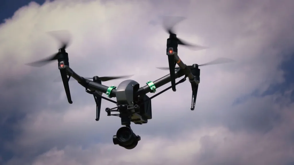
Drone Services in Norfolk, VA

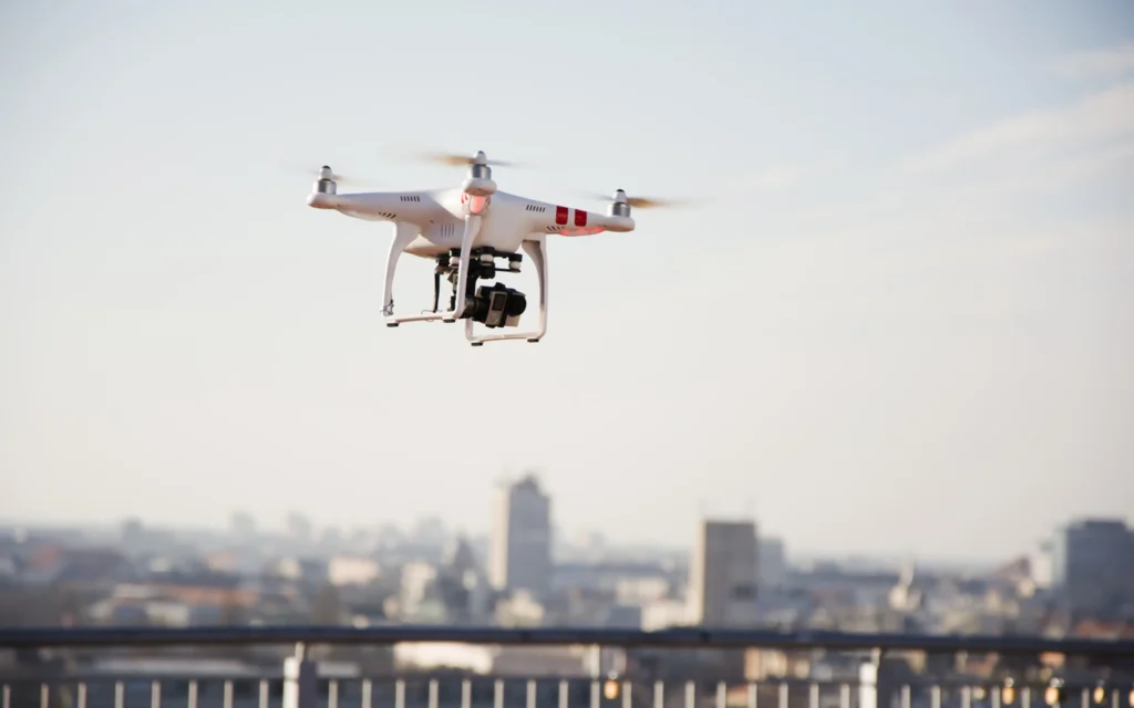
Finding qualified remote operators in a city dominated by high-security Navy zones requires extreme caution. Virginia Drone Solutions steps in to eliminate the liability of uncertified amateurs triggering airspace violations near Chambers Field. Many local builders hire cheap hobbyists who deliver blurry data or ignore critical safety zones near Naval Station Norfolk. Booking our professional drone in Norfolk keeps your business protected from sudden federal shutdowns. Choosing our team for drone services in Norfolk ensures your site mapping stays fully compliant near active projects.

WHAT CAN WE DO FOR YOU?

Check Out Our Services in Norfolk, VA

Inaccurate spatial maps will stall your land planning and cost thousands in unexpected site delays. We deliver clear, high-resolution visual datasets so your design teams can make decisions without the guesswork. Contracting a commercial drone in Norfolk guarantees you get highly accurate files delivered right on schedule. Our remote crews prioritize real-time ground truth over quick, lazy flight sessions.

rsw 1279m

Drone Service

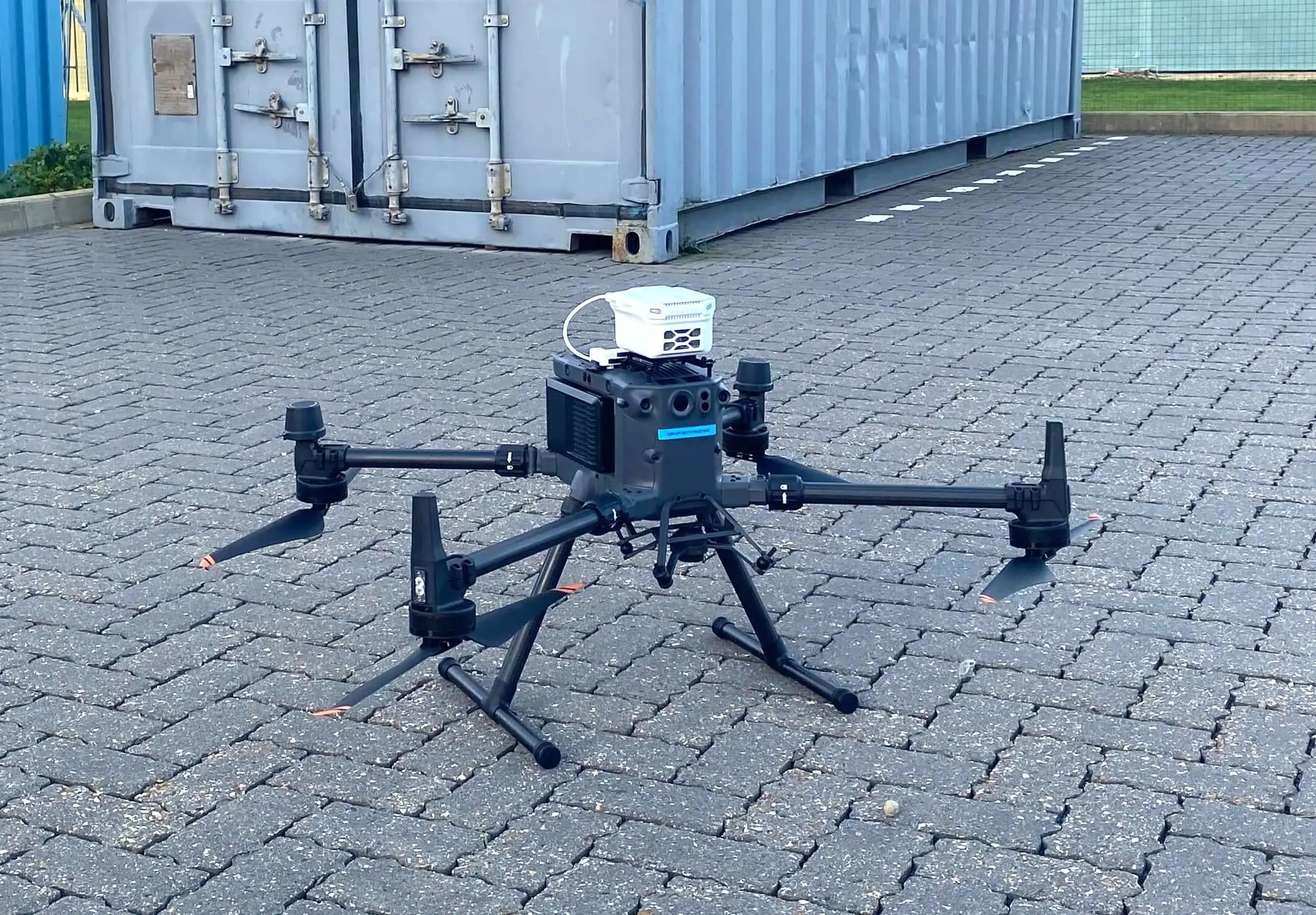
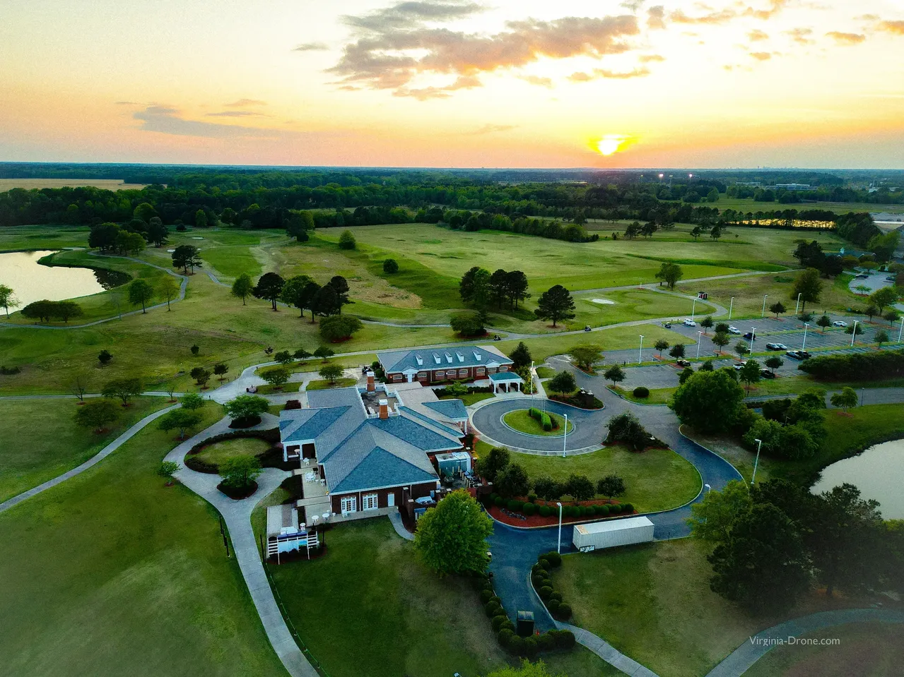
Operating near busy transit lines and active maritime corridors requires deliberate flight planning and heavy hardware stability. We deploy reliable drone services utilizing specialized dual-frequency systems to prevent signal dropouts. Our pilots verify flight boundaries and clear safety parameters before launching any aircraft. You receive clear, actionable datasets without any operational or regulatory drama.

rsw 1279m 2

Aerial Photography

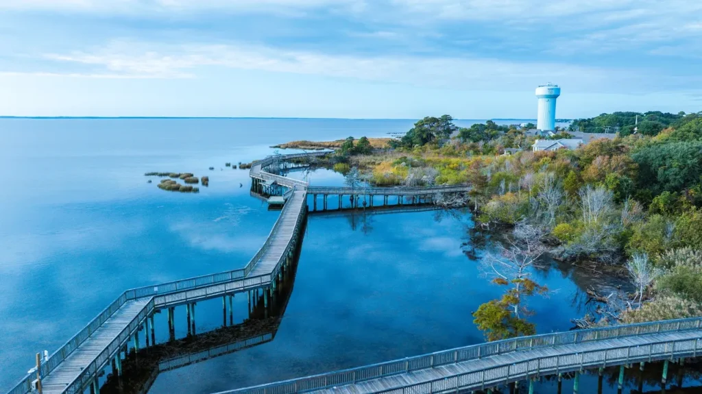
Flat, dark images make premium commercial structures look neglected and cheap. We capture crisp aerial photography using large-format optical sensors built for extreme dynamic range. Our flight teams adjust camera filters on site to prevent midday sun glare from ruining details on waterfront listings in Ghent, Larchmont, and along Ocean View Avenue. Your media package arrives with balanced, color-accurate frames ready for high-end brochures.

Aerial Videography

Jumpy, uncalibrated footage instantly drives potential corporate clients and land buyers away. We record fluid aerial videography using custom stabilization gimbals that track movement smoothly. Our operators map out manual panning runs to showcase extensive real estate footprints and large-scale urban redevelopment projects properly. Your editors receive clean, high-bitrate source files that need zero digital adjustments.

2026 03 01

Construction Monitoring

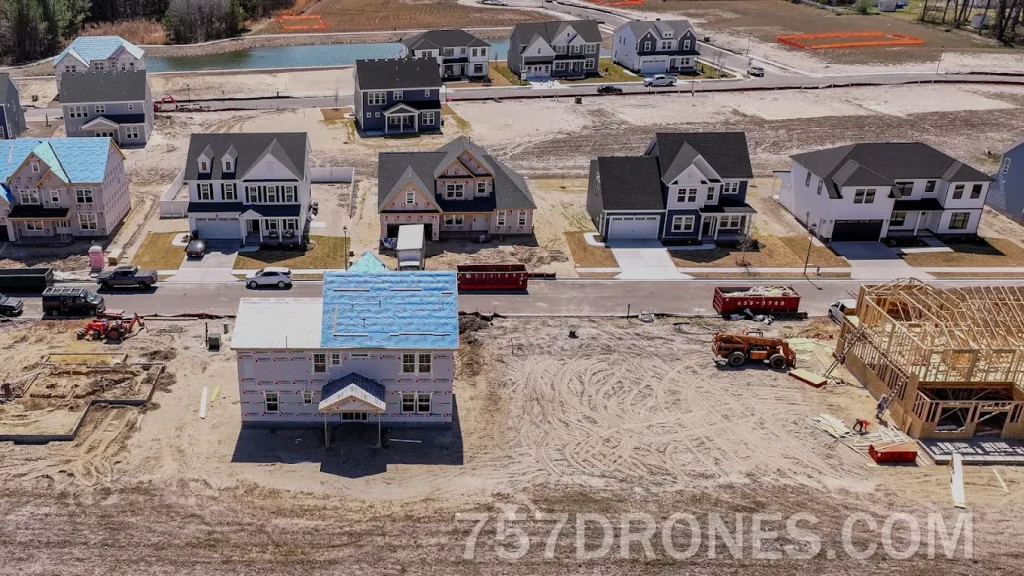
Missing a grading issue before pouring concrete causes massive architectural overruns. We supply systematic construction monitoring to keep project supervisors updated with clear visual proof. Scheduled overwatch flights verify daily subcontractor progress on complex multi-phase builds like the St. Paul’s Transformation Project, where monthly drone flyovers help general contractors maintain visual construction timelines across 13 actively reshaping city blocks. You get an undisputed visual record to protect your development budget from disputes.

682674618 17903866548420078 6620067774125022513 n

Event Capture

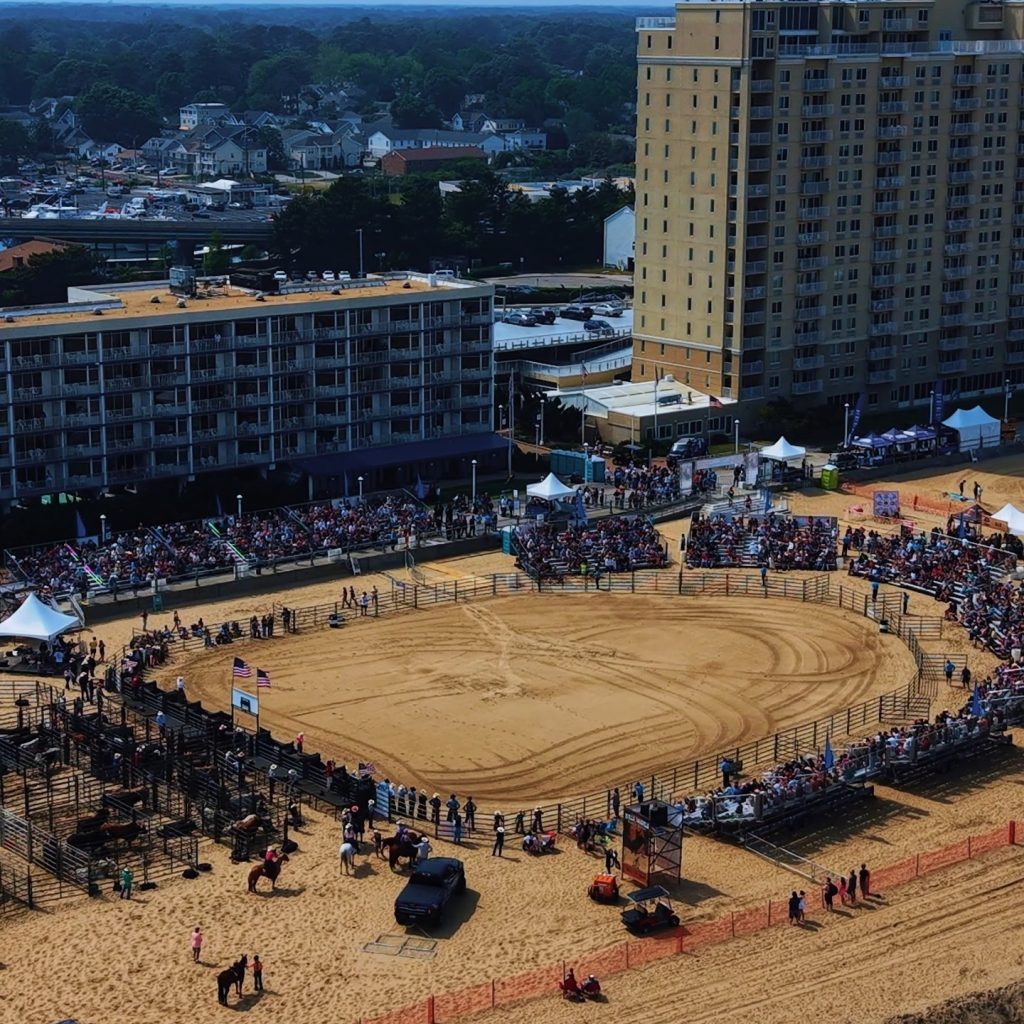
Flying a consumer drone directly over dense crowds invites severe physical and legal risks. We execute secure event capture using specific flight lines that avoid active spectator zones entirely. Our commercial platforms utilize redundant power systems to guarantee stable operations in variable conditions. You receive dynamic promotional media while ensuring complete peace of mind on the ground.

fr5wcs0zgxihsewwxuca

LEARN MORE ABOUT US

Who are we?

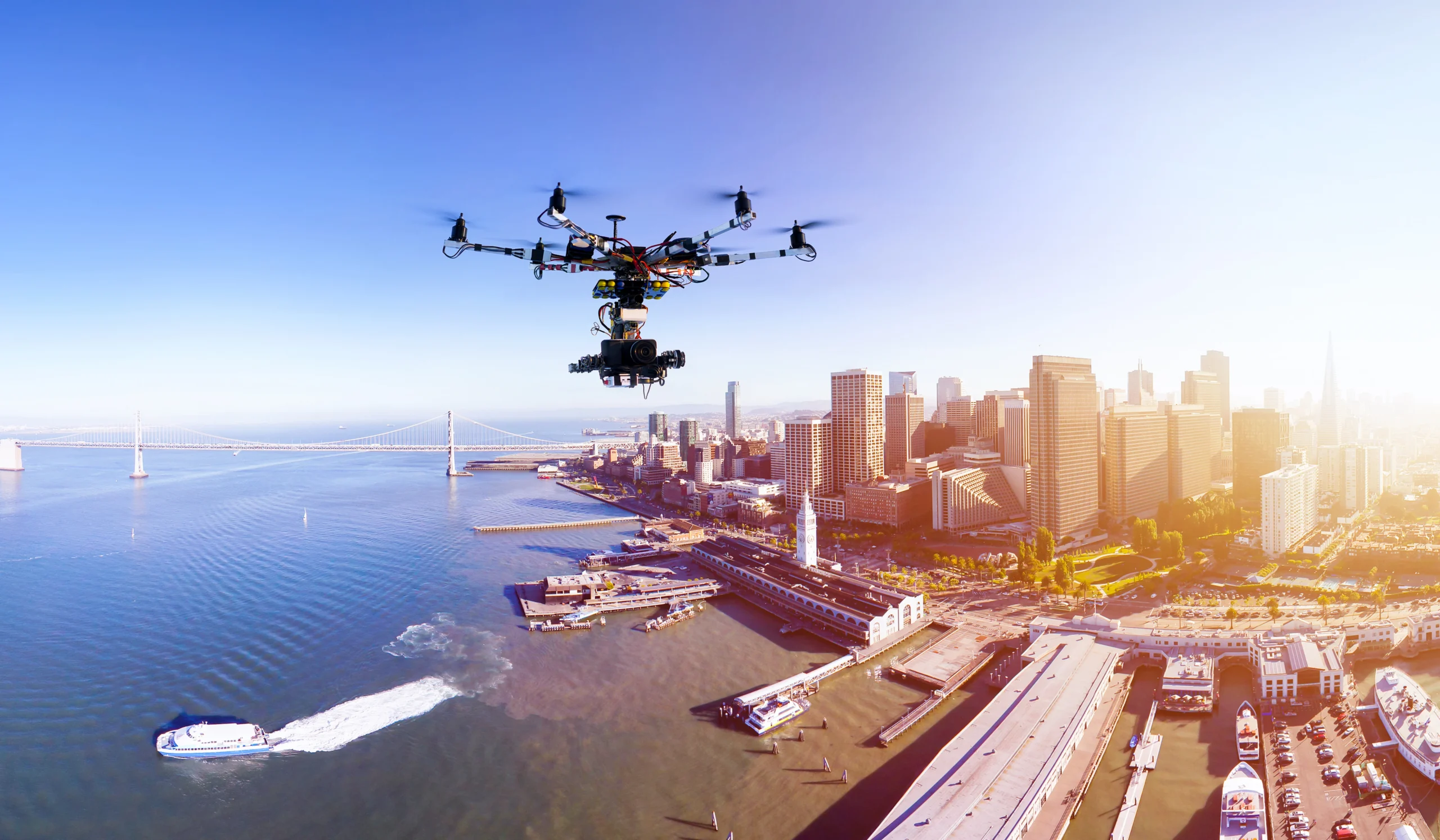
Virginia Drone Solutions features FAA Part 107-certified commercial drone pilots delivering ultra-high-resolution 4K imagery with a fast turnaround. Our actual flight capability is recorded in our raw video files from industrial inspection missions throughout the region. We have filmed ultra-large container vessels navigating the deepened 55-foot harbor channel berths at the Port of Virginia, capturing the precise geometry of massive ships and dock infrastructure from altitude. We also support heavy civil contractors tracking structural milestones on generational projects like the Hampton Roads Bridge-Tunnel South Trestle expansion along the Norfolk shoreline. Utilizing a licensed commercial drone in Norfolk ensures your industrial assets are surveyed with absolute precision.

Why Choose Virginia Drone Solutions

Reasons to Trust

Our team arrives on-site with prepped, commercial-grade gear and fully updated FAA flight waivers to deliver premium drone services in Norfolk.

Your Best Choice

Our team responds quickly to your calls and gets specialized aircraft over your site to provide efficient UAV services in Norfolk without delay.

Right Choice for You

We deploy experienced Part 107-certified pilots who understand complex coastal and military air restrictions, making us your top choice for a professional drone in Norfolk.

Professional

You receive transparent, upfront pricing sheets before we unpack our hard cases to deploy a commercial drone in Norfolk.

Google Review

Write a Review

Top Rated Drone Services in Norfolk, VA

Hiring uncertified operators exposes your corporate real estate firm to severe federal penalties. Investing in certified UAV Services in Norfolk keeps your project running smoothly without sudden FAA shutdowns. Norfolk’s airspace environment with zero-grid LAANC zones surrounding Naval Station Norfolk, overlapping controlled buffers from Norfolk International Airport, and military corridors tied to Joint Expeditionary Base Little Creek demands pilots who know how to secure advanced FAA waivers before every flight. We solve your visual data bottlenecks by using premium industrial-grade platforms and certified pilots. Delaying your aerial survey only allows competitor firms to secure the local market first. Our team provides legally compliant files that keep your project moving ahead of schedule.

Check Out Our Gallery

j8zi1567cdmpizfr95vv

Call Us Now

Do not let uncertified hobbyists ruin your local property project or invite heavy FAA penalties. Our professional remote flight crew is ready to deploy over your site safely today. If you need crisp marketing stills of your land assets, combine this with our aerial photography services in Norfolk for complete property coverage. We handle all local airspace clearances, safety buffers, and flight paperwork ourselves. Call our office today.

CONTACT US

You Can Contact Us Any Time